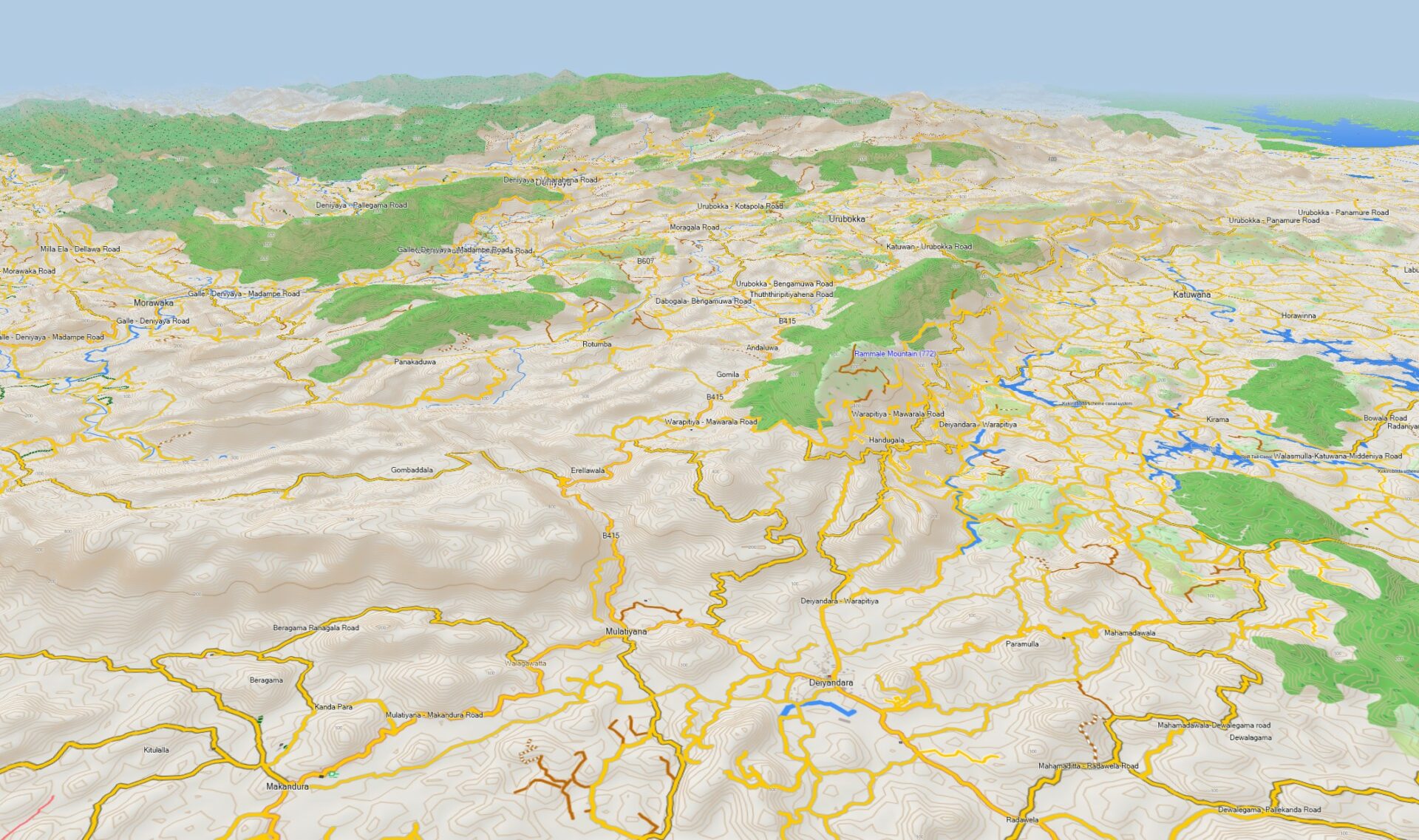
The Thailand Topographic GPS map from GarminWorldmaps offers a routable map for Garmin GPS devices on a basic scale of 1: 25,000. In addition to all kinds of roads you will find contour lines, trails, cross-country tracks, foot ways and cycle-ways on this map. The topographic map for Garmin navigation devices is great for hiking and mountain biking. This makes this map perfect for navigation and tour planning with a Garmin navigation device. The Map can also be installed on a PC or Mac computer.
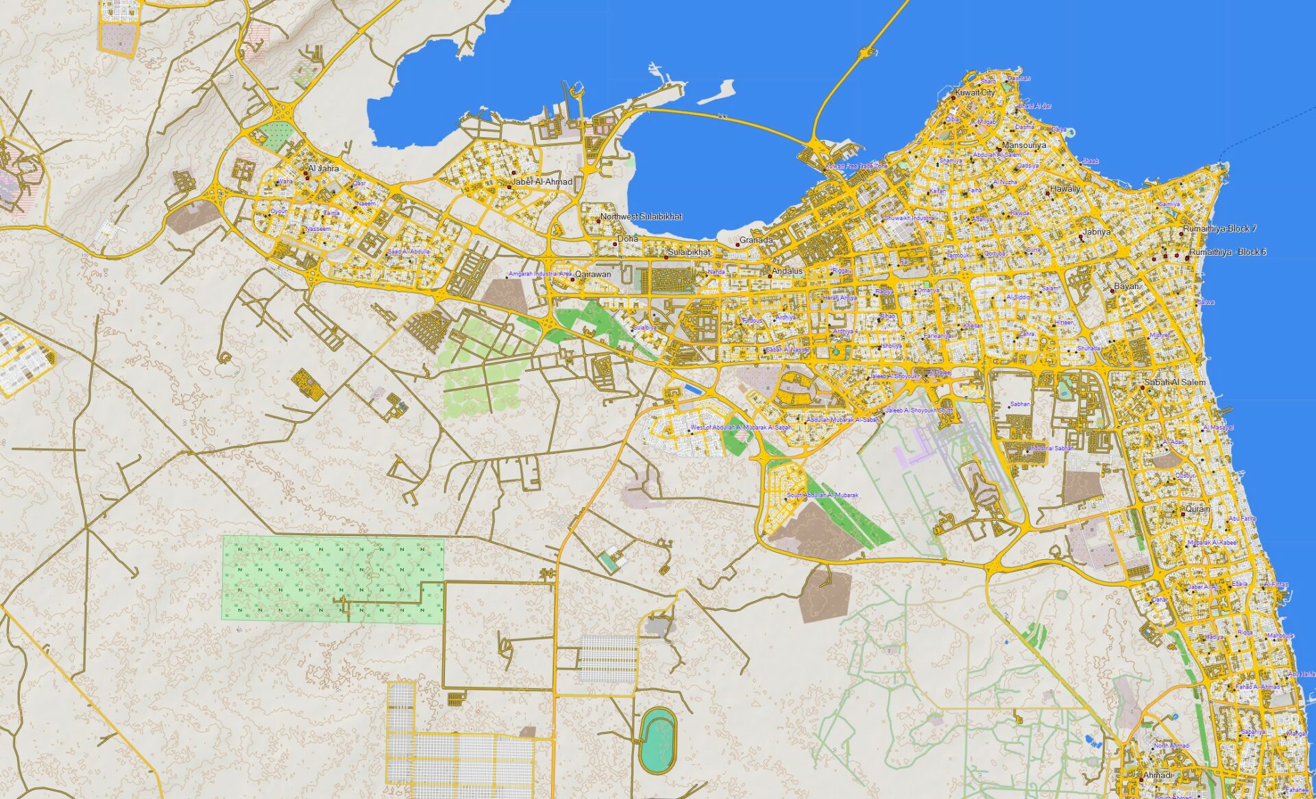
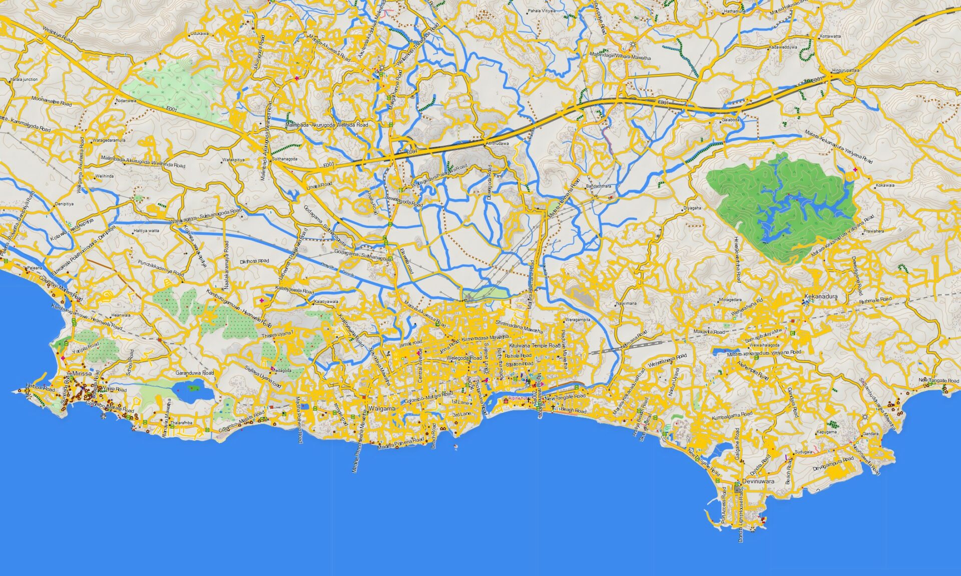
The map includes thousands of kilometers of road, cycling and walking trails. With its modern vector technology, the map always offers an optimal overview with maximum detail density. Individual elements, such as buildings, only become visible when you zoom in. By clicking on the individual elements, additional information such as name of the facility, type of business, information on streets and paths appear. The map contains addresses, street names, rivers, lakes, hills, country lanes, paths, point of interests, sights, public facilities such as train stations, train lines, airports, petrol stations, restaurants, hotels, campsites, hospitals, restaurants and many more.
Thailand Topographic Map – Map for Garmin GPS
handheld and car navigation units
Advantages of the GPS map
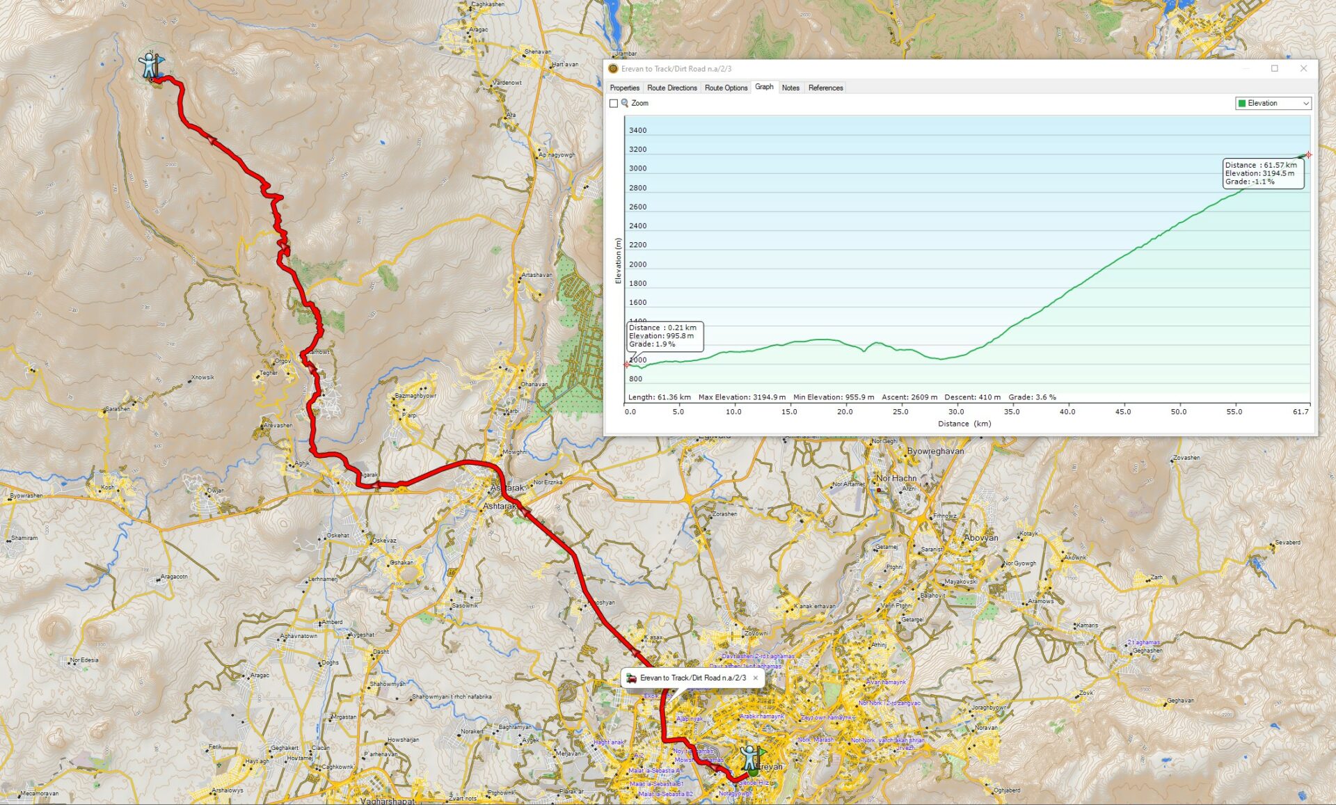
- Route planning on PC and Mac (with the free Garmin software BaseCamp)
- This PRO map is topographic and shows contour lines every 10 m with DEM Hillshading. Hillshading is a technique for creating relief maps, showing the topographical shape of hills and mountains using shading on a map, just to indicate relative slopes and mountain ridges.
- Transferring a route or track from your PC or Mac iOS to your Garmin GPS device is super easy. Just install the map included in your download on your PC or Mac iOS. Plan your adventures or trips and then copy everything to your GPS.
- Editing of finished routes for individual adaptation
- The map material is very detailed and comprehensive and always up to date
- Depending on the Garmin model, our maps also support “routing” with voice output
- This map is excellent for Street navigation, hiking, cycling and mountain biking. It calculates for every occasion the right way. The download includes three versions of the map, so you don’t have to bother how and where to use it.
- Windows computer. Map to install on the computer with the free software Garmin BaseCamp (Windows). With this map, you have the option of editing the map on your computer, planning routes, and sending the map and / or routes to the navigation system.
- Mac OSx computer. Map to install on your computer with free Garmin BaseCamp software (Mac OSx). With this map, you have the option of editing the map on your computer, planning routes, and sending the map and / or routes to the navigation system.
- GARMIN microSD card. Map for direct copying to the microSD card or the internal memory of the navigation device (without a computer). With this map, you have the possibility to copy the GPS map directly to the navigation system or the microSD card. (Plug & Play).
Will this GarminWorldmaps Map work in my Garmin Outdoor GPS?
To confirm the device settings are correct, and it is compatible, review the following –
- Check the device Compatibility List
- Make sure the Garmin GPS has the most current software installed with Garmin Express
Download the map
Immediately after paying, you will be directed to a page where you can download the map directly. You will also receive an email containing all the order details and the download link. The download Link will expire after 90 days.








Reviews
There are no reviews yet.