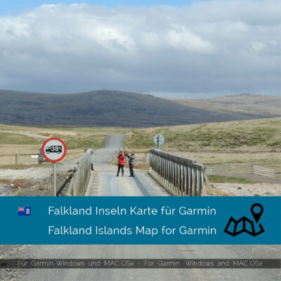
Falkland Islands
The Falkland Islands, also known as the Malvinas, are a remote British overseas territory located in the South Atlantic Ocean. They are situated about 480 kilometers east of Argentina and 13,000 kilometers west of the United Kingdom. The islands consist of two main islands, East Falkland and West Falkland, along with several hundred smaller islands.
Due to their remote location, there are no land borders with other countries. The nearest countries are Argentina and Uruguay to the west and South Africa to the east.
The total length of the road network in the Falkland Islands is around 500 kilometers, with the majority of the roads being unpaved gravel tracks. There are no expressways or paved highways, and most of the roads are used for agricultural or military purposes. However, there are some scenic routes for tourists to explore, such as the road from Stanley to Gypsy Cove and the road to Cape Pembroke Lighthouse.
Walking, cycling, and hiking are popular activities in the Falkland Islands, with many trails offering stunning views of the rugged terrain, wildlife, and coastline. The Falkland Islands Tourist Board provides a range of walking maps and guides, including topographical maps from GarminWorldmaps, to help visitors navigate the terrain safely. Some of the most popular hiking trails include the Mount Usborne hike on East Falkland, the Volunteer Point Penguin Colony hike, and the Cape Dolphin hike on West Falkland.
The Falkland Islands offer a unique and remote destination for those seeking adventure and a connection to nature. With its vast, untouched landscapes and abundant wildlife, the islands offer a truly unforgettable experience for visitors.
Showing all 2 resultsSorted by popularity


