
New Topographic Maps for Colorado, Nevada, and Utah Just Released on GarminWorldmaps
Introduction
GarminWorldmaps has just released brand-new topographic maps for three of the most breathtaking and adventure-filled states in the United States: Colorado, Nevada, and Utah. Whether you’re a hiker, camper, off-road enthusiast, or simply a lover of the great outdoors, these topographic maps are the ultimate companion for navigating rugged terrains, exploring national parks, and uncovering hidden trails. In this article, we’ll take an in-depth look at these new maps, highlighting their features, practical applications, and why they are a must-have for anyone venturing into these iconic landscapes.
Why Topographic Maps Matter
Topographic maps are essential for outdoor navigation. Unlike regular maps, they offer detailed information about elevation changes, landforms, trails, water features, and more. This makes them indispensable for activities like hiking, biking, off-roading, and even scientific research. The new GarminWorldmaps topographic maps go beyond the basics by providing highly accurate data, easy-to-read contour lines, and comprehensive coverage of both popular and remote areas.
Features of the New Topographic Maps
High-Resolution Terrain Details
The new maps boast high-resolution terrain details, including:
- Precise Contour Lines: Clearly marked elevation changes to help gauge difficulty.
- 3D Shading: Enhances terrain visualization for better route planning.
- Hydrographic Features: Lakes, rivers, and streams accurately marked.
- Trail Networks: Comprehensive coverage of hiking and biking trails.
- Points of Interest (POIs): Campsites, shelters, lookout points, and more.
Compatibility with Garmin Devices
These maps are compatible with a wide range of Garmin devices, ensuring seamless integration and smooth user experience. Whether you’re using a handheld GPS or an in-car navigation system, the maps provide flawless performance without lag or glitches.
Offline Capability
Access your maps even without an internet connection. This feature is crucial for backcountry adventures where connectivity can be limited or non-existent.
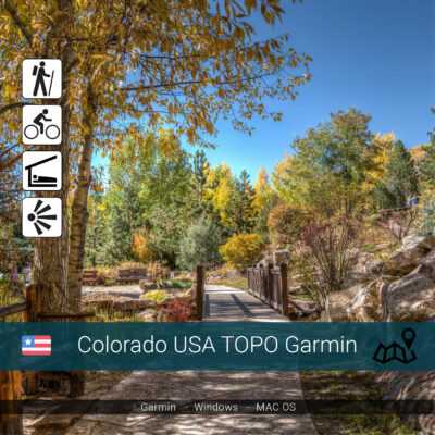
Exploring Colorado: A Diverse Landscape
Colorado is synonymous with towering peaks, dense forests, and sprawling plains. The new GarminWorldmaps topographic maps cover:
- Rocky Mountain National Park: Navigate iconic trails like Longs Peak and Bear Lake.
- San Juan Mountains: Discover hidden valleys and alpine lakes.
- Great Sand Dunes National Park: Map out your route through shifting dunes.
Discovering Nevada: More Than Just Desert
Nevada’s rugged beauty comes alive with these maps. Key areas covered include:
- Lake Tahoe Basin: Explore hiking and biking trails around the crystal-clear lake.
- Great Basin National Park: Navigate the vast wilderness and ancient bristlecone pine forests.
- Valley of Fire State Park: Chart your course through striking red rock formations.
Unveiling Utah’s Natural Wonders
Utah’s national parks and rugged backcountry are fully covered, including:
- Zion National Park: Detailed trail maps for iconic hikes like Angel’s Landing.
- Arches National Park: Navigate the maze of sandstone arches and rock formations.
- Moab and Canyonlands: Perfect for off-roading and ATV adventures.
Real-World Applications
Whether you are a professional guide or a weekend adventurer, these topographic maps offer:
- Safety and Accuracy: Detailed topography helps assess potential hazards.
- Route Planning: Choose the best paths according to difficulty and elevation.
- Geocaching: Locate hidden treasures using accurate coordinates.
User Testimonials
Enthusiasts and professionals alike praise the new maps for their clarity, accuracy, and ease of use. Here are some real-world experiences from early adopters.
How to Download and Install
Downloading the maps from GarminWorldmaps is simple. Just follow these steps:
- Visit the GarminWorldmaps website.
- Select the map bundle for Colorado, Nevada, or Utah.
- Complete your purchase and download the files.
- Install the maps on your compatible Garmin device.


Tips for Making the Most of Your Maps
- Preload Your Device: Download maps before heading out to ensure offline access.
- Update Regularly: Keep your maps up to date to benefit from the latest enhancements.
- Learn Your Device: Familiarize yourself with map functions before your adventure.
Conclusion
The new topographic maps for Colorado, Nevada, and Utah from GarminWorldmaps are more than just navigation aids—they’re your ticket to safer, smarter, and more enjoyable outdoor experiences. Whether exploring national parks or venturing off the beaten path, these maps are designed to meet the needs of modern adventurers. Don’t miss out on the opportunity to elevate your exploration game—get your maps today!